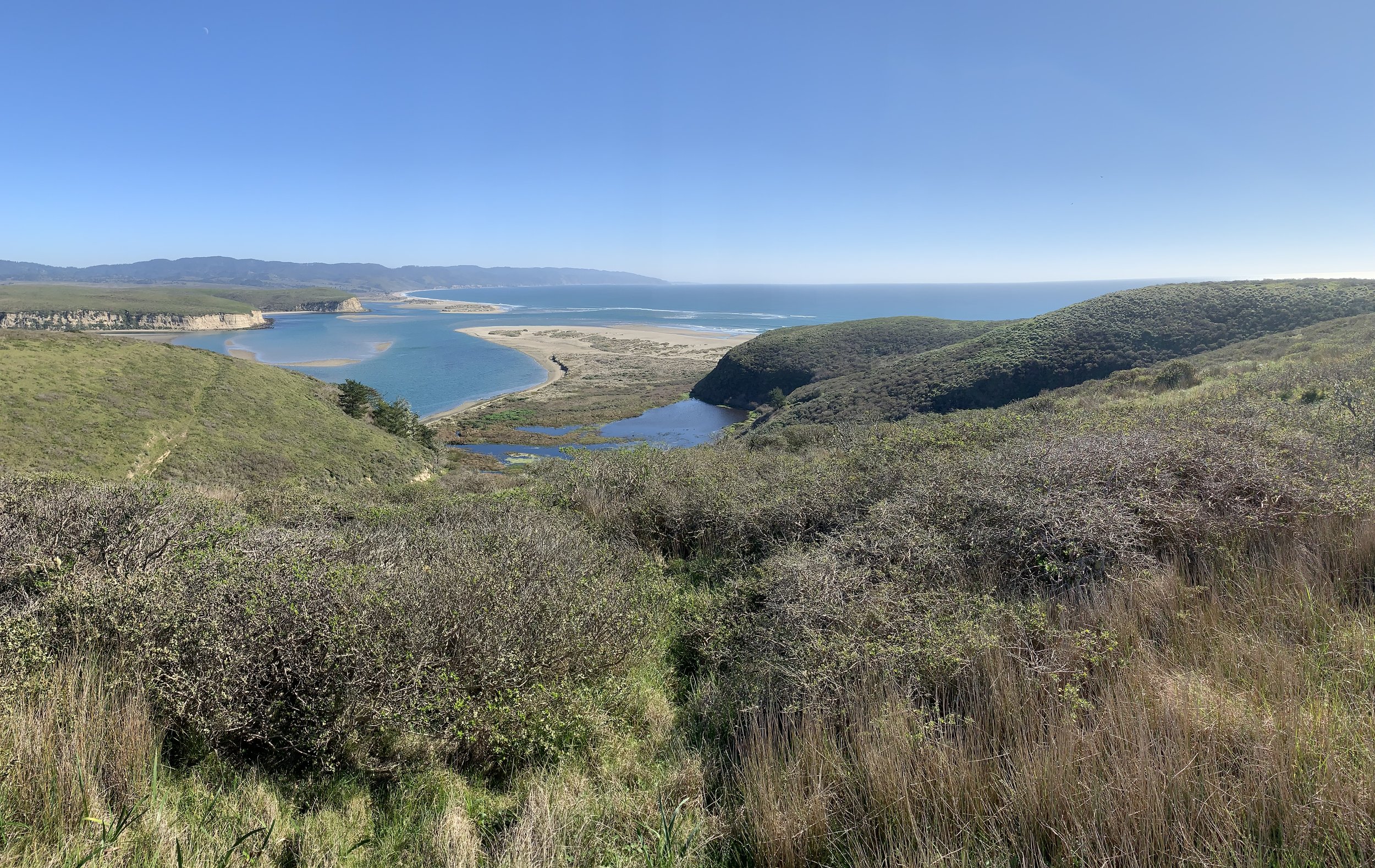
The Site of New Albion’s Physical Location
The physical location of Drake’s landing and encampment site, Sebastián Cermeño’s landing and shipwreck, and the associated Coast Miwok village sites are on and along the rolling coastal plain and Drakes Bay at Point Reyes National Seashore in California. Three bodies of water are important to know: Drakes Bay, Drakes Estero, and Drake’s Cove. These spelling are correct: only Drake’s Cove is properly spelled with an apostrophe.
The three bodies of water are contiguous. Drakes Bay is sheltered and open to the Pacific Ocean to the south. Drakes Estero is navigable and trends inland for several miles north of the bay. Drake’s Cove is a small sheltered body especially suitable for Drake’s extended anchorage. The cove was altered by rancher William Hall in or about 1949 when he bulldozed a dam across the mouth of the cove to make a stock pond.
The photograph below identifies these features with labels. The photographer is facing generally southeast.
This image looks generally to the west with the Pacific Ocean to the top. Drakes Bay is on the left and the multiple fingered Drakes Estero runs to the right (north) of the bay. Drake’s Cove is to the west side after entering the estero.
Wikimedia Commons Image

Drakes Bay
Drake’s Cove
Drakes Estero
Image Courtesy of Steve Wright
Above is photograph facing generally east showing the locations of the three bodies of water. Drake’s Cove was altered in 1949 when the rancher, William Hall, bulldozed a dam across it to create a stock pond. Remains of the road he bulldozed to access the cove may be seen on the left side of the photo.
Below is a map of the region. North is to the map’s top. Point Reyes Station and Inverness are nearby towns. Since precision is difficult on this map’s scale, Drake’s Cove is marked with a large dot.
Pacific Ocean
Drakes Bay
Drakes Estero
Drake’s Cove
•
Bing Maps Derivative Image

